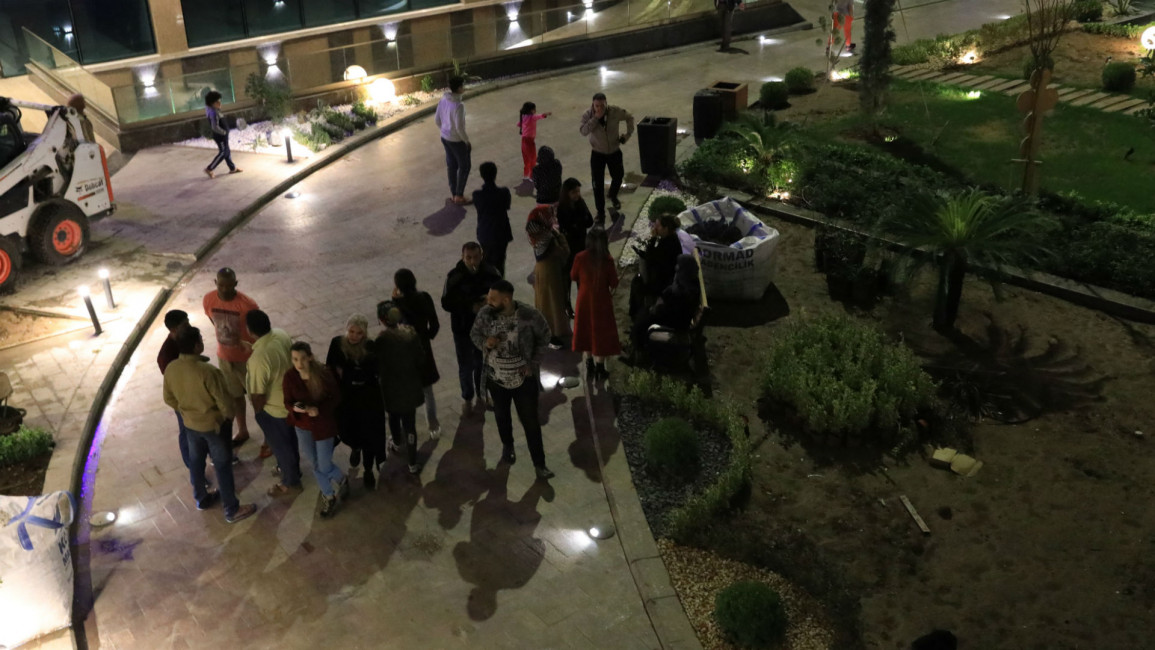
Magnitude 5.7 quake hits southern Iran
A magnitude-5.7 earthquake hit Iran's southern province of Fars on Sunday, local media reported.
It struck at a depth of 11 kilometres, with the epicentre near the town of Khesht, at around 7 PM (1430 GMT). Several weaker aftershocks followed, according to Iran's seismological centre.
The United States Geological Survey put the initial tremor at 5.4-magnitude.
There were no reports of casualties or damage, about two hours after the quake.
Rescue and survey teams were sent to the area and hospitals put on alert, Fars province's head of crisis management Rahim Azadi told state television.
Iran sits astride the boundaries of several major tectonic plates and experiences frequent seismic activity.
In 2003, a 6.6-magnitude quake in the southeast levelled the ancient mud-brick city of Bam and killed at least 31,000 people.
Iran's deadliest was a 7.4-magnitude quake in 1990 that killed 40,000 people in the north, injured 300,000 and left half a million homeless.


