The mystery of Google Earth's fuzzy Gaza images
The mystery of Google Earth's fuzzy Gaza images
Image quality is often relatively poor on Google's service, despite better photographs reportedly being in existence elsewhere.
2 min read
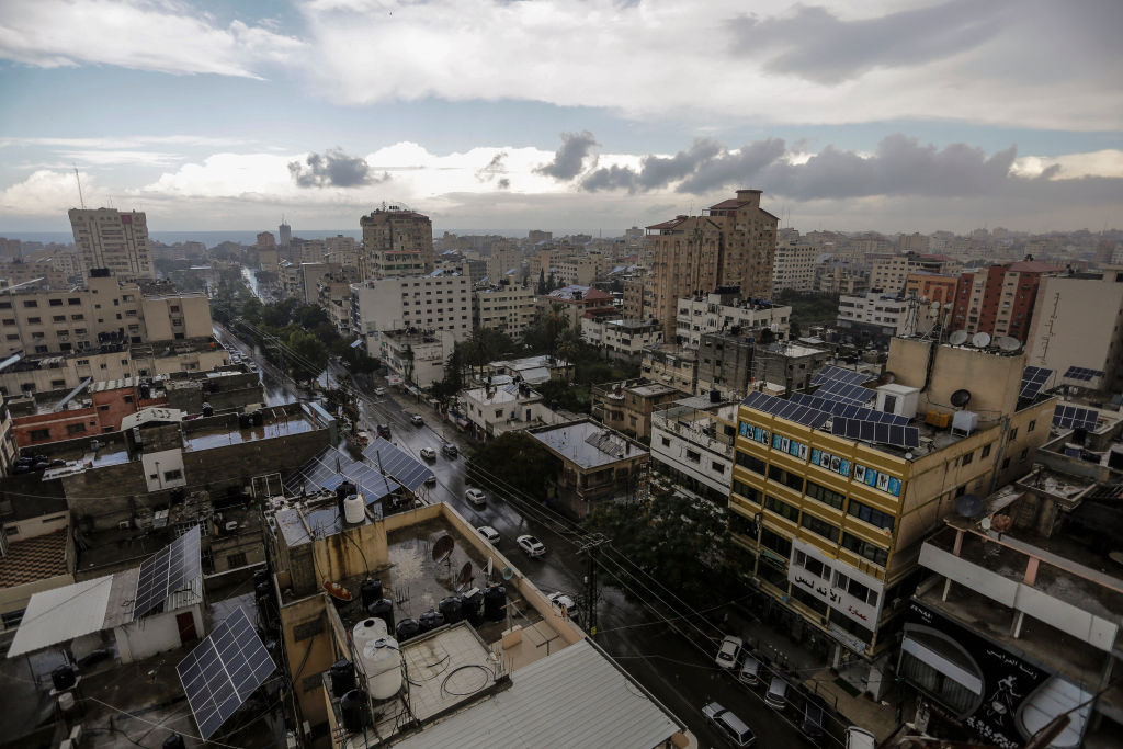
Google Earth's satellite images across the OPT and Israel are often hazy [SOPA/LightRocket/Getty-file photo]
Google Earth's coverage of Gaza is fuzzy in comparison to other areas of the world.
Image quality is often relatively poor on Google's service, despite better photographs being in existence elsewhere, the BBC reported.
It also said that large swathes of the rest of the Occupied Palestinian Territories and Israel face the same issue.
The UK broadcaster even compared the images of Gaza to those taken above the so-called "hermit kingdom" of North Korea in its capital, Pyongyang.
The North Korean images are far superior.
This is due to the 1997 Kyl-Bingaman Amendment that limited the resolution US businesses can use when taking satellite photos of Israel.
This reportedly came following Israeli political pressure.
France's President Emmanuel Macron, his Egyptian counterpart Abdel Fattah al-Sisi and Jordan's King Abdullah II held talks Tuesday aimed at seeking a ceasefire between the Israelis and the Palestinian militant group Hamas.https://t.co/hiun1W1Jvh
— The New Arab (@The_NewArab) May 18, 2021
Despite the Amendment pertaining to Israel, the limitations also fell on Palestine, the BBC reported.
The Amendment was finally cast aside in July of last year, but hazy images of Gaza remain, the broadcaster said.
Google said there were "no plans to share at this time" concerning a possible upgrade.
However, Apple informed the BBC it was taking action.
The BBC said the poor image quality obstructs those wanting to confirm details of rocket and missile fire, both in the Strip and Israel.
Samir, who the public broadcaster calls "an open-source investigator", said: "The fact that we don't get high-resolution satellite images from Israel and Palestinian territories sets us back".
More In News


